File:Map of the Federated States of Micronesia CIA.jpg
From WikiMD's WELLNESSPEDIA

Size of this preview: 740 × 599 pixels. Other resolutions: 296 × 240 pixels | 593 × 480 pixels | 948 × 768 pixels | 1,200 × 972 pixels.
Original file (1,200 × 972 pixels, file size: 312 KB, MIME type: image/jpeg)
Summary
| Description |
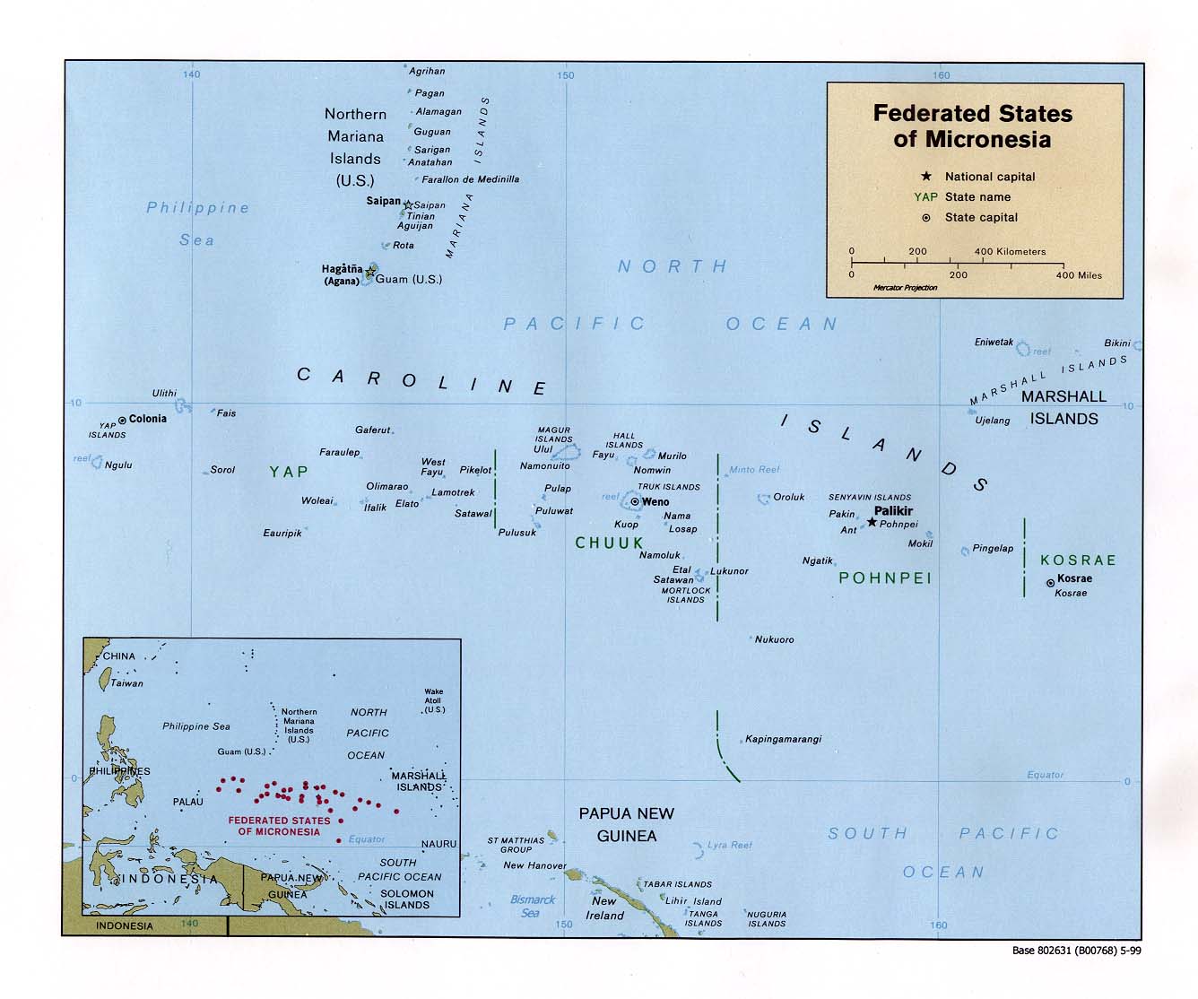
English: Map of the Federated States of Micronesia — in the Micronesia regon. |
| Date | |
| Source | Federated States of Micronesia (Political) 1999 from Perry-Castañeda Library Map Collection: Federated States of Micronesia Maps |
| Author | U.S. Central Intelligence Agency |
| Permission (Reusing this file) |
Public domain |
Licensing
| This image is a work of a Central Intelligence Agency employee, taken or made as part of that person's official duties. As a Work of the United States Government, this image or media is in the public domain in the United States.
|

|
File history
Click on a date/time to view the file as it appeared at that time.
| Date/Time | Thumbnail | Dimensions | User | Comment | |
|---|---|---|---|---|---|
| current | 15:57, 17 September 2010 | | 1,200 × 972 (312 KB) | wikimediacommons>Ras67 | rotated 0.22 degree ccw, cropped |
File usage
The following page uses this file:
