File:Aerial view of Nauru.jpg
From WikiMD's WELLNESSPEDIA
Size of this preview: 800 × 587 pixels. Other resolution: 1,600 × 1,173 pixels.
Original file (1,600 × 1,173 pixels, file size: 545 KB, MIME type: image/jpeg)
Summary[edit]
| Summary | |
|---|---|
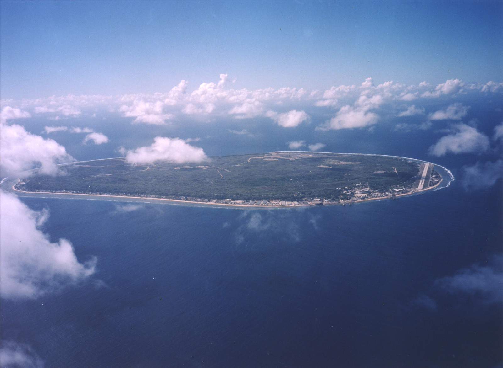
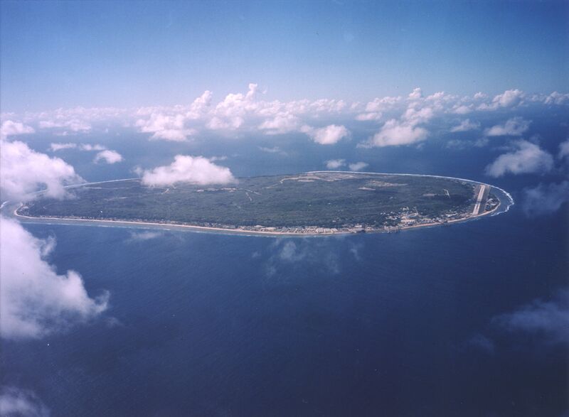
| Description | A limestone karst on Nauru Island as a result of the over-mining of phosphate. |
| Source | Wikimedia Commons file page |
| Author | U.S. Department of Energy's Atmospheric Radiation Measurement Program |
| Permission | See original Commons license details. |
Licensing[edit]
Public Domain
This file is in the public domain and may be used without restriction.
Please see the linked source page for the original file history, attribution information, and licensing details.
Original attribution and file history: Wikimedia Commons
File history
Click on a date/time to view the file as it appeared at that time.
| Date/Time | Thumbnail | Dimensions | User | Comment | |
|---|---|---|---|---|---|
| current | 03:23, 5 June 2026 | | 1,600 × 1,173 (545 KB) | Maintenance script (talk | contribs) | == Summary == Importing file |
You cannot overwrite this file.
File usage
The following file is a duplicate of this file (more details):
- File:Aerial view of Nauru.jpg from Wikimedia Commons
The following 2 pages use this file:
